 |
| The trailhead at the end of Serrano Road |
 |
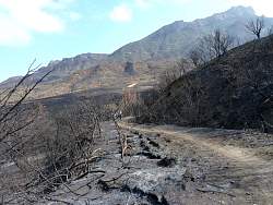
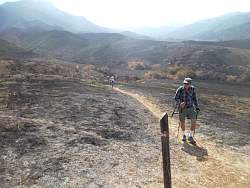
| Heading down Serrano Road |
 |
 |
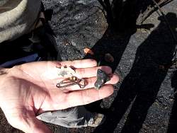 |
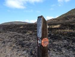
| The remains of the first geocache we looked for. |
 |
 |
 |
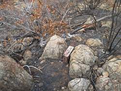 |
| This geocache seems to have survived intact |
 |
 |
| We couldn't find any sign of the geocache that used to be here |
 |
| Still on Serrano Rd, heading for the old ranch buildings |
 |
| Some water has flooded through here since the fire. The result of a helicopter drop? |
 |
 |
 |
 |
 |
 |
 |
| Now we're on the Serrano Valley Trail |
 |
 |
 |
 |
| Still on the Serrano Valley Trail, headed for Old Boney Trail. |
 |
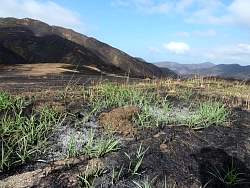
| Not all of it has burned! |
 |
 |