 |
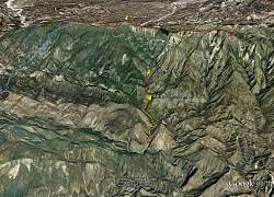
| View of our route, courtesy of Google Earth, looking north. The Potrero John Trail is yellow; the trail from Potrero John Camp to St Loomis Falls is red. |
 |
| Same as the previous image, only from furthr away so you can see Reyes Peak and the Chorro Grande Trail (blue line on the left side). |
 |
| View of our route from the south-east. |
 |
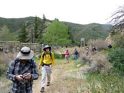
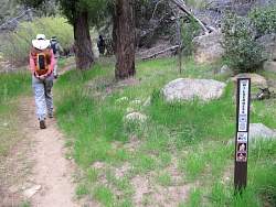
| The trailhead |
 |
 |
 |
 |
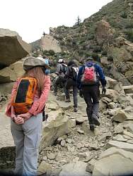
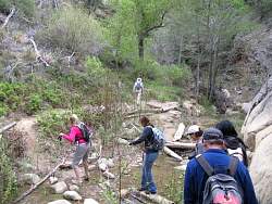
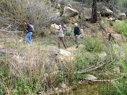
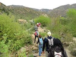
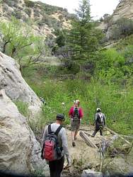
| There were lots of creek crossings for the first mile |
 |
 |
 |
 |
 |
 |
 |
 |
 |
 |
 |
 |
| Potrero John Camp. From here to St. Loomer Falls, we're on an unofficial trail. |
 |
 |
 |
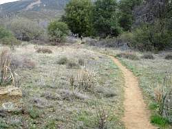
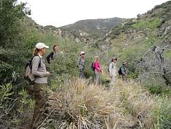
| This section was overgrown, but most of it was much easier to follow |
 |
 |
 |
 |