|
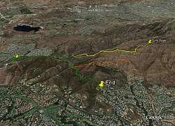
View of our hike, looking west. The route to Simi Peak is shown in yellow; orange is the easier route that some people took, and green is the route that both groups travelled.
|
|
 |
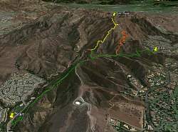
Google Earth view of our hikes, looking north.
|
|
 |
Google Earth view of our hikes, looking east
|
|
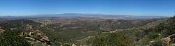 |
Panoramic view of Wood Ranch from the Secret Passage Trail
|
|
 |
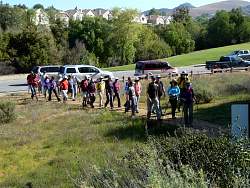
Organizing the car shuttle where the hikes would end
|
|
 |
At the start of the hike
|
|
|
|
 |
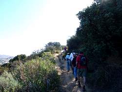
Heading up the Oakbrook Vista Trail
|
|
|
 |
A wild cucumber
|
|
 |
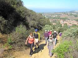
View of Lang Ranch Neighborhood Park from the trail
|
|
|
|
|
|
|
|
|
 |
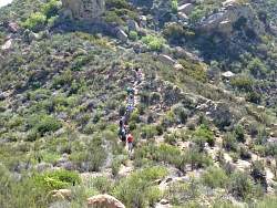
A mountain biker makes the steep climb up the trail
|
|
|
 |
The road to the left of center heading up the ridge away from us is Albertson Motorway. Our destination, Simi Peak, is straigh ahead of the road we're on, right of center.
|
|
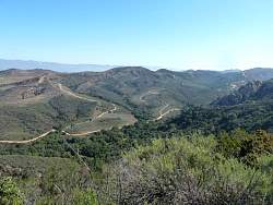 |
Fireroads of Lang Ranch (Thousand Oaks) and Wood Ranch (Simi Valley).
|
|
 |
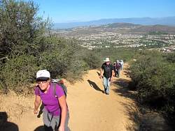
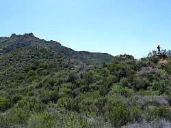
Carl runs up a nearby hill to get a sweat up
|
|
 |
Albertson Motorway is one of the more traditional routes to Simi Peak
|
|
 |
Checking out the communications equipment
|
|
 |
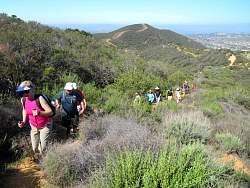
A short but steep hill to get to "Mini-Tripeaks" and the Secret Passage Trail to Simi Peak
|
|
 |
Another view of Albertson Motorway from Mini-Tripeaks
|
|
 |
Starting up the Secret Passage Trail
|
|
|
 |
A smaller group has split off to do an easier hike
|
|
 |
On the "Wally's Wiggles" section of the trail
|
|
|
|
|
|
|
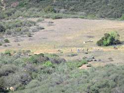 |
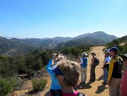
The group on the easier Edison Rd hike is down below us
|
|
|
|