|
Google Earth view of our route along the Skelton Canyon Trail (orange), looking north. The skelton Ridge trail above it is purple. In the top-left corner are trails of the North Ranch Open Space
|
|
 |
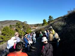
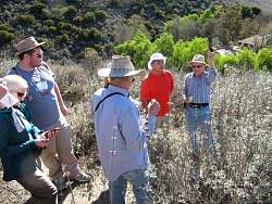
Learning about the Conejo Open Space Challenge, and geocaching, at the start of the hike
|
|
|
 |
Looking at the descriptions of the geocaches we'll be searching for. There are 6 of them on this trail.
|
|
 |
Off we go!
|
|
|
 |
The trail starts with a moderate climb and it's getting warmer...
|
|
 |
Time to remove some jackets!
|
|
 |
Holding a GPS and looking towards where it says the first geocache is hidden
|
|
 |
The first geocache (aka "cache") is found quickly
|
|
 |
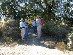
From where the geocache was hidden, some hikers are still on the trail
|
|
 |
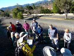
Reading the description of the next cache and setting the GPSs to point to it
|
|
 |
And we continue on!
|
|
|
 |
The cache is in those bushes somewhere
|
|
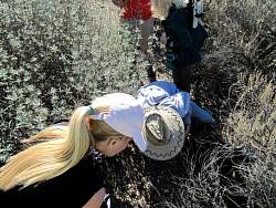 |
Looking for the cache, but in the wrong spot. The fellow in the orange shirt at the top has found it...
|
|
 |
... See?
|
|
 |
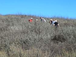
The geocachers are quite spread out looking for the cache
|
|
|
|
|
 |
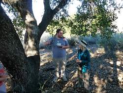
As things come up, hike co-leader Steve answers questions and gives tips on geocaching
|
|
 |
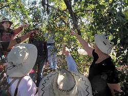
The previous cache was hidden in the chaparral. This one is under an oak tree.
|
|
|
|
 |
It's hanging in the branches, and very hard to see!
|
|
 |
See it now?
|
|
|