 |
Google Earth view of our route, looking from the north-east. The neighborhood of Bell Canyon is at the upper-right. Our track is in green. We started at the white arrow and hiked clockwise.
|
|
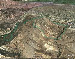 |
Google Earth view of our route, looking from the south-west, with the San Fernando Valley in the background. Our track is in green. We started at the white arrow.
|
|
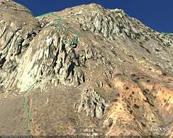 |
Google Earth view of our route, looking from the south. Our track is in green. The track ends at the bottom of the cave and restarts at the top.
|
|
 |
Starting off from the Vanowen Street Trailhead
|
|
 |
We're starting to climb...
|
|
 |
... and it's getting pretty steep...
|
|
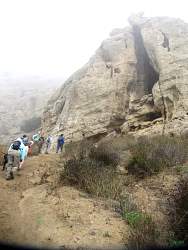 |
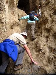
... here we are at the entrance to the cave.
|
|
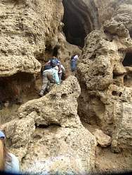 |
The entryway was the hardest part
|
|
|
|
|
 |
Giving the dog, Kelsey, a hand up
|
|
 |
Now Kelsey is gonig to greet everyone as they come up!
|
|
 |
There are a couple of climbers with their ropes inside the cave
|
|
|
|
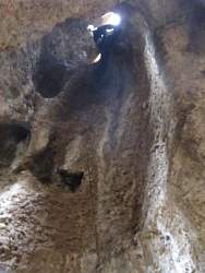 |
The climber is about to come down
|
|
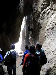 |
See the climber? Maybe wearing black in a cave isn't the easiest way to be noticed!
|
|
|
|
|
|
 |
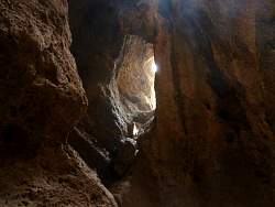
The main chamber, sans climber on the wall
|
|
 |
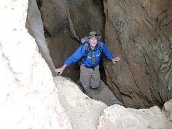
We continue up and out the top of the cave
|
|
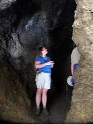 |
A side cave it close to pitch black!
|
|
 |
Climbing up and out(ward)
|
|
|
|
 |
Still more to climb!
|
|
|


