|
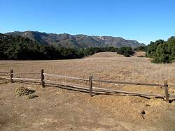
Our hiking route, looking south-east. We started at the Trippet Ranch parking area, at the far right, and hiked clockwise, covering about 4.3 miles.
|
|
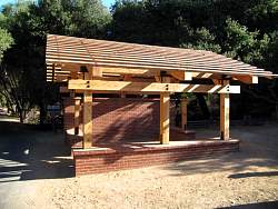 |
A new structure at Trippet Ranch. But what is it for?
|
|
 |
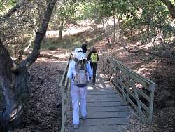
The Musch Trail trailhead
|
|
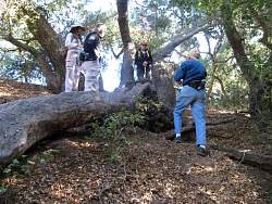 |
After searching for several minutes, we found the first geocache by this fallen tree
|
|
 |
We saw this giant squirrel in the meadow
|
|
|
 |
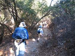
Off of the paved road and onto the trail
|
|
|
|
 |
There were quite a few stairs on the Musch Trail!
|
|
 |
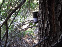
Another geocache - this one is a "bison tube" hanging in a tree
|
|
|
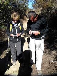 |
Signing a geocaching log sheet
|
|
|
|
 |
Retrieving a geocache. This was the first of a multicache series. There was only one other one in the series and it was about 0.25 miles away.
|
|
|
|
 |
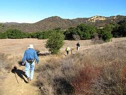
The Musch Trail will take us to Eagle Junction
|
|
 |
Another geocache, this one in plain sight if you look at the right place.
|
|
|