|
View of our hike as seen by Google Earth, looking north-west. We started at the right end of the blue line and hiked in a counter-clockwise direction.
|
|
 |
View of our hike as seen by Google Earth, looking south-east. We started at the lower left and hiked in a counter-clockwise direction.
|
|
 |
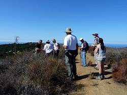
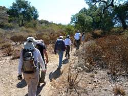
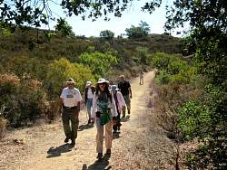
Starting out on Lulu Carr Rd, heading south
|
|
 |
Up a side road to find the first geocache
|
|
 |
Pete tries to open the geocache, a rusty cookie tin
|
|
|
 |
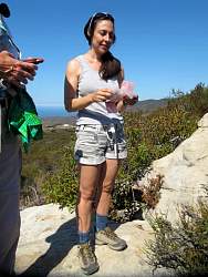
Next, Carol gives it a try
|
|
 |
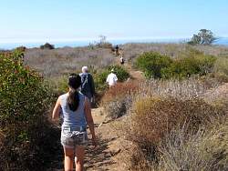
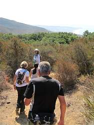
After eventually getting the cache open, we head south again towards Charmlee
|
|
|
|
|
 |
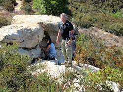
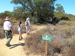
The second cache is in these rocks somewhere
|
|
|
|
|
 |
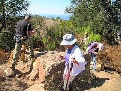
Found it after a very careful reading of the cache description, something we don't usually bother with (unless we can't find it)
|
|
 |
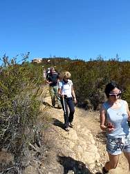
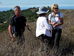
Standing in a little shade to figure out where the next cache is
|
|
 |
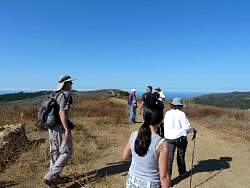
We're starting to get a glimpse of Pt Dume as we get closer to the ocean
|
|
|
 |
Next stop is the Ranch House ruins
|
|
 |
It's around here somewhere, isn't it?
|
|
 |
Marion thinks she sees something...
|
|
 |
...Yes, she found it for us!
|
|
 |
The view from the site of the old ranch house
|
|
 |
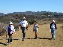
Continuing on...
|
|
 |
We can see Sandstone Peak as we hike along
|
|
 |
We turn down the Matt Kouba Trail
|
|
|
 |
Still on the Matt Kouba Trail
|
|
 |
The next cache site was on the Clyde Canyon Trail
|
|
 |
We poked around the base of the tree...
|
|
 |
... that's where the hint said it would be...
|
|
 |
... and we poked more, then a lot more, but we never found it.
|
|
 |
Oh well, there are more to be found!
|
|
|