|
View of our route (light blue) as seen from Google Earth, looking north. We started at the bottom. Other trails are shown in red and yellow.
|
|
 |
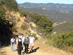
Starting up Calabasas Peak Motorway from Stunt Road
|
|
|
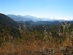 |
Misty mountains to the west around Malibu Creek State Park
|
|
 |
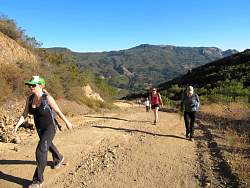
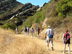
The road climbs for a mile or so
|
|
|
 |
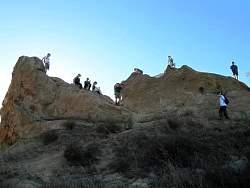
This region has some amazing rock formations
|
|
 |
That's Saddle Peak behind us with all the antennas
|
|
|
|
|
|
|
|
|
|
 |
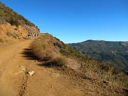
At this point the road has levelled off and we're starting to go downhill
|
|
 |
Some of the view from the turn-around point at the top of Secret Trail
|
|
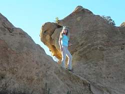 |
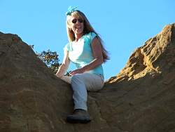
Climbing on the rocks
|
|
|
|
|
|
|
|
|
|
|