 |
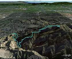
Our route shown in blue, as visualized in Google Earth. The view is looking due south.
|
|
 |
Our route shown in blue, as visualized in Google Earth. The view is looking north-west.
|
|
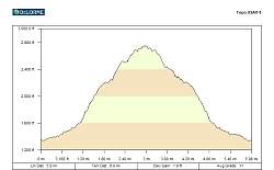 |
Elevation profile. We hiked 6 miles with about 1700' of climbing overall.
|
|
|
|
|
 |
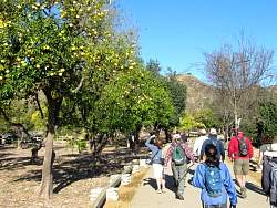
It took a while to figure out these were small grapefruits, not big lemons or yellow oranges.
|
|
|
|
|
|
|
|
|
|
|
|
|
 |
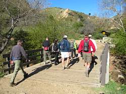
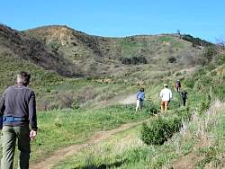
The trail was steep and the weather was windy
|
|
 |
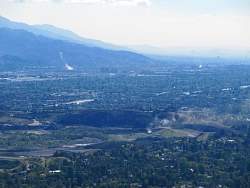
The body of water in the background is Upper Van Norman Lake
|
|
|
|
|
|
|
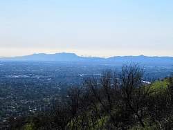 |
Downtown LA visible in the distance
|
|
|
|
|
|
|
|
|
 |
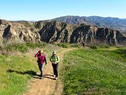
We went up the very steep trail ahead and came back on the more reasonable trail on the left
|
|
 |
There are several sources of steam in the distance
|
|
 |
This part was very steep...
|
|
 |
... see?
|
|