|
Google Earth view of our route, from the east-south-east. We went up on the left, continued to the far end, then returned down the north-east ridge to the right.
|
|
 |
View of Ladyface from the Stunt High Trail, a few miles to the south-east.
|
|
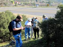 |
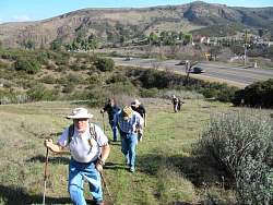
Logging the first cache at the trailhead next to Kanan Road
|
|
 |
Starting up the eastern approach to Ladyface
|
|
 |
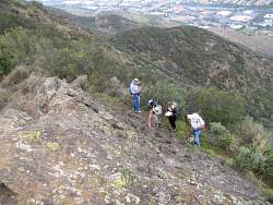
Looking for the second cache, and taking a break from the steep climb!
|
|
 |
Richard found this one!
|
|
 |
Leaving the dirt road and starting up the trail
|
|
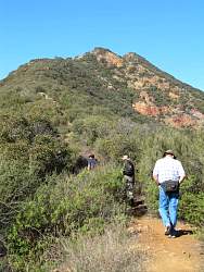 |
A bit of foreshadowing. The trail follows the ridgeline we can see ahead of us.
|
|
 |
Following a geotrail
|
|
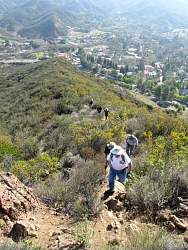 |
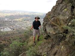
The views are starting to be really impressive!
|
|
|
|
 |
This part is a little loose and quite slippery
|
|
|
 |
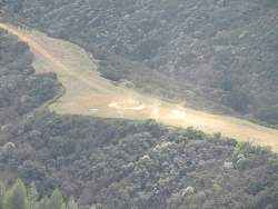
It's not often you see a helicopter below you!
|
|
|
|
 |
Approaching the steepest part of the trail
|
|
 |
You need to use your hands to climb up this part
|
|
 |
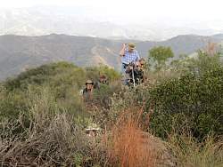
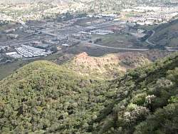
Down below, someone having fun in a quad
|
|
|
|
|
|
 |
Richard found this cache, too
|
|
|
|
|
|
 |
God's Eye View, the oldest geocache in Los Angeles County. The original ammo can has been replaced by a much smaller plastic container.
|
|
|
|
 |
Debbie's group photo at God's Eye View
|
|
 |
Continuing west past God's Eye View
|
|
|
|
 |
The trail we'll be taking back down is on top of that ridge
|
|
 |
The group is searching for a cache. Can you spot it...
|
|