|
View of our route, in light blue, as seen from Google Earth looking north. We sstarted at the lower-left and hiked anticlockwise. Other trails in the area are shown in green.
|
|
 |
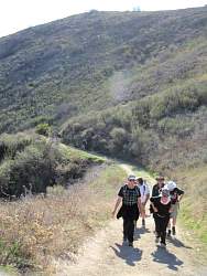
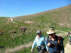
Starting up Cheeseboro Canyon
|
|
|
|
|
 |
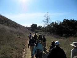
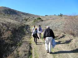
Still on Cheeseboro Canyon...
|
|
 |
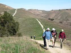
...turning up Ranch Center Connector
|
|
|
|
|
 |
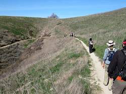
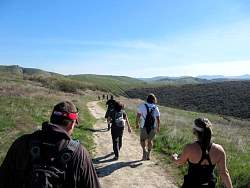
We've crested the top and are heading down into Palo Comado Cyn.
|
|
|
|
 |
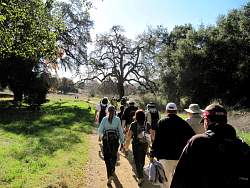
Palo Comado Canyon Trail
|
|
|
|
|
|
|
 |
At the south end, Palo Comado Canyon Trail turns east and heads up the ridge, back towards Cheeseboro Canyon.
|
|
|
|
 |
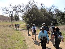
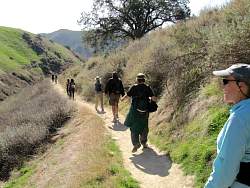
We turned south on the Modelo Trail
|
|
 |
On the Modelo Trail, heading for the parking lot
|
|
|
|
|
|
|
|
|
|
|
 |
It's only a few minutes to the cars from here
|
|
|
|