 |
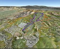
View of our route, in purple, as shown in Google Earth. We are looking east. We started at the lower left, hiking counterclockwise, up the Oakbrook Vista Trail, up the Secret Passage to Simi Peak, through China Flat and back down Albertson Fireroad.
|
|
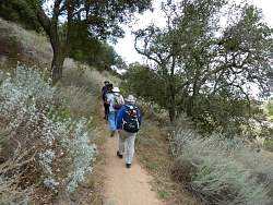 |
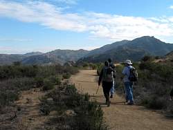
Starting up Oakbrook Vista Trail.
|
|
 |
Our first rest, 450 yards up the trail! Actually, we stopped to deploy a new geocache here.
|
|
 |
Signing the log for a geocache we found along the way. We were going to find about 30 geocaches on the hike.
|
|
|
|
|
|
 |
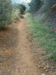
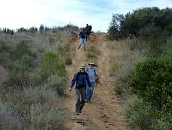
The Oakbrook Vista Trail is a little steep along part of it.
|
|
|
 |
We can see Albertson Fireroad from our trail. That's the way we'll be coming back down.
|
|
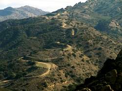 |
A closer look at Albertson Fireroad
|
|
|
 |
Looking north from the Oakbrook Vista Trail
|
|
|
 |
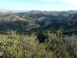
Looking north-east. Simi Peak is on that ridge in the distance somewhere
|
|
|
|
|
 |
Coming down a side trail that took us to the top of the hill (and a geocache!)
|
|
|
|
 |
Near the bottom of the Secret Passage trail
|
|
|
 |
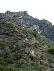
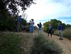
A bunch of people wandering around in the brush - they must be geocaching!
|
|
 |
The Secret Passage trail is really steep in places. We were going to see many more steep sections
|
|
|