|
View of our hike as shown in Google Earth, looking from the south-west. We started at the lower-left, on Westlake Blvd. and hiked up the Skelton Cyn Trail for about 0.8 miles, before returning to the ridgeline trail that heads north.
|
|
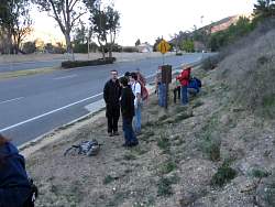 |
Geocaching at the trailhead on Westlake Blvd.
|
|
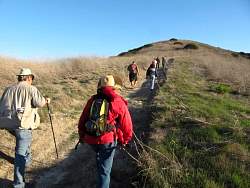 |
Skelton Canyon Trail
|
|
|
|
 |
Finding a geocache under an oak tree
|
|
 |
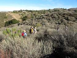
The purple sage is almost as tall as we are!
|
|
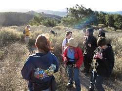 |
Taking a break to recalibrate before heading up Skelton Ridge
|
|
 |
The new mustard hasn't started to grow up to replace last year's dead crop
|
|
 |
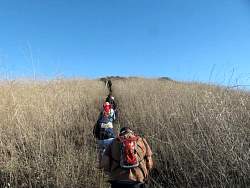
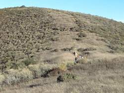
Skelton Ridge Trail goes staight up the hill
|
|
|
|
|
 |
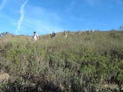
There always seems to be another hill ahead of us!
|
|
 |
We're just about at the top here
|
|
 |
Of course there's a geocache at the highest point
|
|
 |
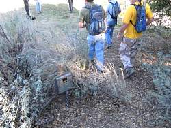
W found several animal traps next to the trail, and more!
|
|
 |
Top of the animal trap
|
|
 |
Continuing north on the trail, but now we get to go downhill
|
|
 |
This trap has a sign next to it
|
|
 |
Here's a close-up of the sign
|
|
 |
Stopping to find another geocache
|
|
 |
We also saw several wildlife cameras like this one
|
|
 |
Coming back down the hill
|
|
|
|