 |
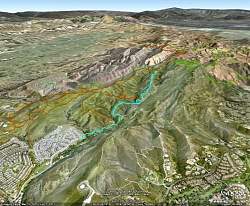
Our route, shown in light blue, as visualized in Google Earth looking from the southwest. Other Lang & Wood Ranch trails are shown in brown and Cheeseboro trails are green.
|
|
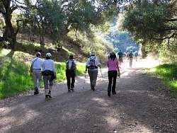 |
Starting off under the trees...
|
|
 |
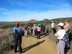
...but the shade doesn't last long. Here we're turning onto the trail that bypasses some private property.
|
|
 |
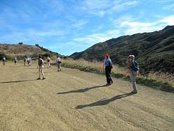
This bypass trail used to be a singletrack, but it gets so much use it's almost as wide as a road now.
|
|
|
 |
Our youngest hiker!
|
|
|
|
 |
Turning back onto the fireroad from the bypass trail.
|
|
|
|
|
 |
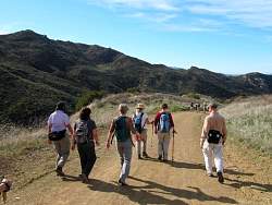
The road goes up and up!
|
|
 |
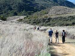
Some of our group is going more slowly
|
|
|
|
|
 |
The 99% peering over the fence of the 1% to see their private roads. This was the spot we turned around.
|
|
 |
On the way back down
|
|
|
|
|
|
|
 |
I call that rocky section above us "Mini Tripeaks." You can access it from a trail on the ridge.
|
|
|
|
|
|
 |
The trailhead and the end of our hike.
|
|
|
|