|
Our route up the backbone trail in light blue, from Encinal Cyn Rd to Etz Meloy Mtwy. We started at the lower right. Other trals are shown in yellow and medium blue.
|
|
 |
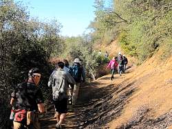
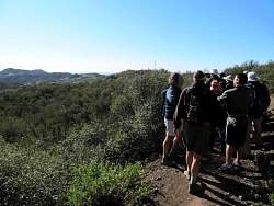
Part way up the first segment, between Encinal and Mulholland
|
|
 |
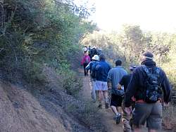
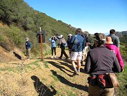
Site of an old house on Mulholland that was torn down a few years ago
|
|
 |
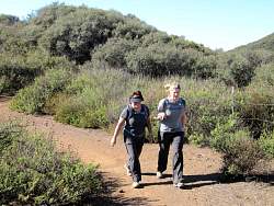
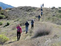
On the newest segment of the Backbone Trail, between Mulholland and Etz Meloy Motorway.
|
|
|
 |
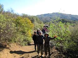
It was windy today!
|
|
 |
Stopping to take in the view.
|
|
 |
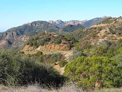
The view
|
|
|
|
|
|
|
|
|
 |
Turning onto Etz Meloy Mtwy
|
|
|
 |
The view from Etz Meloy
|
|
 |
Satellite dishes
|
|
 |
It's hard to tell from this photo, but there are whitecaps on the ocean from the wind
|
|
 |
Climbing the last hill for the 360-degree view
|
|
 |
The first of us are at the top
|
|
 |
It is very windy up here, and not very warm
|
|
|
|
 |
A few hikers are still making their way up
|
|
 |
Sandstone Peak to the west
|
|