|
Google Earth view of our route, looking from east-north-east. This view looks along Potrero Ridge towards Camarillo.our route is shown in light blue.
|
|
 |
Google Earth view of our route (blue line), looking from the north. We can see Boney Mountain in the distance.
|
|
 |
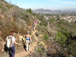
Starting off from Wendy Drive
|
|
|
|
|
 |
Those switchbacks ahead of us are on the other side of Reino Rd. We'll be on them in a few minutes.
|
|
 |
On the new trail that was built during the 2011 COSCA Spring Trailwork Day
|
|
|
|
|
|
 |
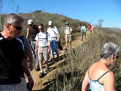
Almost all COSCA trails are multi-use.
|
|
 |
It's colorful with the changing of the leaves on the trees
|
|
|
|
 |
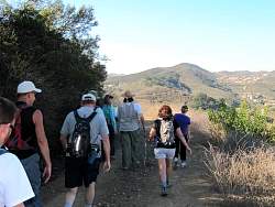
Boney Mountain in the distance
|
|
|
 |
Turning down the Oak Ridge Trail (AKA Mountain Creek Trail after the name of the street at the bottom).
|
|
|
 |
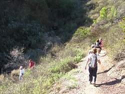
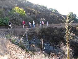
On the Oak Ridge Trail
|
|
|
|
|
 |
A red-tailed hawk circles overhead
|
|
 |
At the half-way point of the hike: Mountain Creek Street. From here we turn around and head back the way we came.
|
|
|
|
|
|
|
|
 |
Taking a break on the Potrero Ridge Trail to have a snack and enjoy the view.
|
|
|
|
 |
The trail ahead of us
|
|
|
|
|
|
|
 |
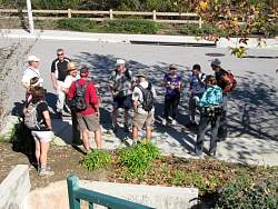
This is where we had lunch afterwards, a new BBQ joint in Newbury Park. It was pretty good!
|
|