 |
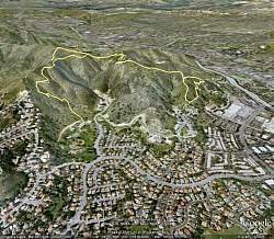
Google Earth view of our hike, looking from the south-east. We started at the center-left, hiked over to the loop at the center-right (going anticlockwise), then hiked up the higher ridge (upper right) on the way back.
|
|
 |
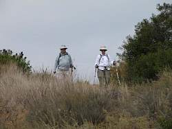
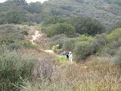
The first real switchback on the Triunfo Canyon Trail
|
|
|
|
|
 |
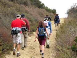
Top of the Triunfo Canyon Trail, meeting Los Robles Trail (East).
|
|
|
|
|
 |
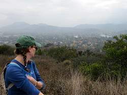
Onto the Fairview Trail. We'll see the view in a few minutes.
|
|
 |
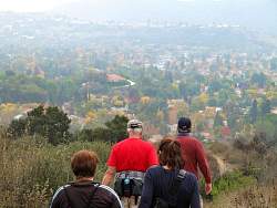
We can see the trees turning color down below in Westlake now.
|
|
 |
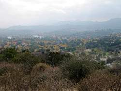
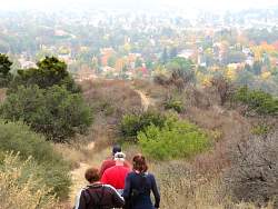
A closer look at the colors
|
|
|
|
|
|
|
|
 |
Continuing on the Fairview Trail
|
|
|
|
|
|
|
|
|
|
|
 |
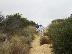
It's quite steep and a little loose at the end of this trail
|
|