 |
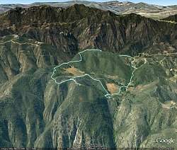
Our route around Nicholas Flat as seen by Google Earth, looking from the north. We started near the bottom-left of the loop and hiked clockwise.
|
|
 |
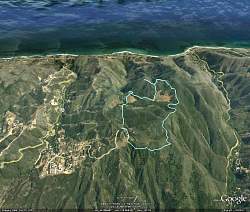
Our route around Nicholas Flat as seen by Google Earth, looking from the south. We started near the top-right of the loop and hiked clockwise. That's Sandstone Peak and Boney Mtn in the background.
|
|
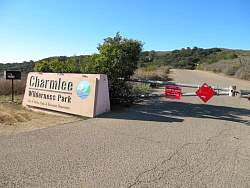 |
We had planned to hike at Charmlee in Malibu...
|
|
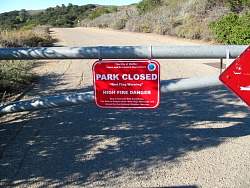 |
...but it was closed due to the weather. So we drove a few miles to Nicholas Flat in Leo Carillo State Park where they no longer close the trails during red flag days.
|
|
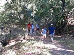 |
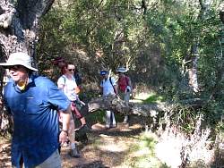
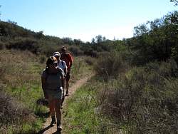
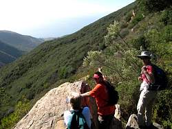
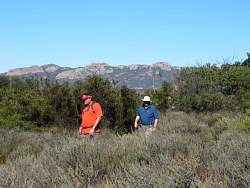
Starting off in Nicholas Flat
|
|
|
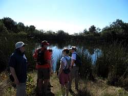 |
Our first look at Nicholas Flat Pond
|
|
|
 |
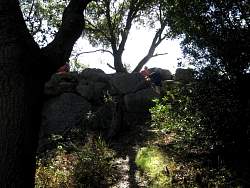
Looking down from the natural rock dam that holds the pond water back
|
|
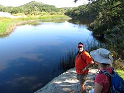 |
The best view of the pond. There don't seem to be any ducks or other water birds around today.
|
|
 |
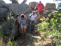
Coming back down from the natural rock dam
|
|
|
|
|
|
|
|
|
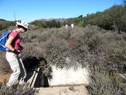 |
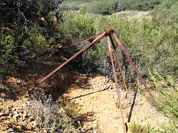
I wish someone would tell me what this used to be!
|
|
 |
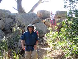
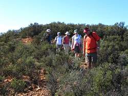
Sandstone Peak in the background
|
|
 |
Someone's rigged a shelter of sorts
|
|
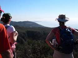 |
From this lookout, we can see Point Dume in Malibu, then Palos Verdes Peninsula further in the distance
|
|
|