|
Google Earth view of our route, looking from the south-west. We started on Erbes Rd (just below and left of center), hiked out the new loop at the left side, then continued along the ridge to the top right. Then we turned around and hiked back, going straight down the hill rather than around the new loop.
|
|
 |
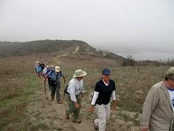
Part-way up the hill from the trailhead. The evergreen trees mark the parking area.
|
|
 |
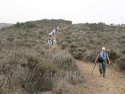
Waiting for everyone to catch up before we start down the new trail
|
|
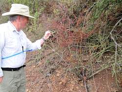 |
Checking out some seriously prickly bush. You used to have to push through this before the trail was rejuvenated
|
|
 |
On the rejuvenated trail. This used to be an old and very overgrown roadbed, but it has been cleared out to make passage really easy.
|
|
 |
During the 2011 COSCA trailwork day in October, the old roadbed was extended to make a loop. This is the first part of the extended trail
|
|
 |
Hear you can easily see where the new trail was cut into the hillside only a few days before we hiked here.
|
|
|
 |
Brew points out the rock retaining wall he built while helping build the trail. You can see the Wood Ranch (Bard) reservoir in the background
|
|
 |
The new wall
|
|
 |
Not everyone is impressed!
|
|
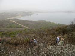 |
The new trail has a great view of the reservoir
|
|
|
|
 |
Nearing the end of the new trail, you can see the old, narrow trail in the background along the ridgeline
|
|
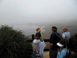 |
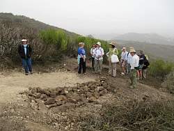
At the Bard Reservoir overlook
|
|
|
|
 |
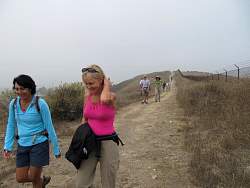
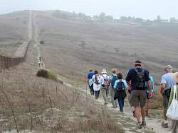
Starting along the old trail that will parallel the fence.
|
|
|
|
|
 |
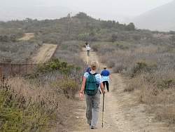
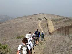
Along the fence
|
|
|
|
|
|
|
|
|
|
 |
This is about as far as we got before we turned around. We hiked 5 miles altogether, out and back.
|
|
|
|
 |
Beside the fence again
|
|
|
|
|
 |
Here we're heading down the old trail that the new loop bypasses
|
|
 |
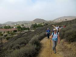
Almost back to the parking area
|
|
 |
We can see our cars now
|
|
 |
We almost filled the lot with our cars!
|
|
|