 |
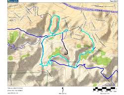
Topo map of our route, in light blue. Other trails are dark blue. We started on the small loop, going clockwise, then went around the larger loop counterclockwise. That way we had the shade of Sherwood Forest on the warmest part of the morning.
|
|
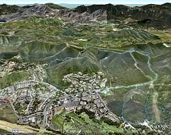 |
Google Earth view of our hike route, looking from the north. We went around the smaller Oak Creek Loop clockwise, then the larger loop counterclockwise.
|
|
 |
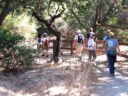
West arm of the Oak Creek Loop, AKA the Whole Access Trail
|
|
 |
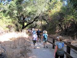
West arm of the Oak Creek Loop, AKA the Whole Access Trail
|
|
 |
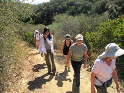
West arm of the Oak Creek Loop, AKA the Whole Access Trail
|
|
 |
West arm of the Oak Creek Loop, AKA the Whole Access Trail
|
|
 |
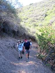
East arm of the Oak Creek Loop, AKA "The Whoops!"
|
|
 |
East arm of the Oak Creek Loop, AKA "The Whoops!" The Fire Dept was sampling the brush for moisture content when we went by.
|
|
 |
East arm of the Oak Creek Loop, AKA "The Whoops!"
|
|
|
|
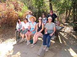 |
The "Lily Tomlin" table at the bottom of the "Lily Tomlin Trail"
|
|
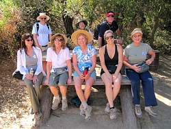 |
Notice that nobody's feet touch the ground!
|
|
 |
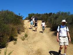
Los Robles Trail East, AKA Lily Tomlin Trail
|
|
 |
Los Robles Trail East, AKA Lily Tomlin Trail
|
|
 |
Los Robles Trail East, AKA Lily Tomlin Trail
|
|
 |
The Vista Loop overlook
|
|
 |
The Vista Loop overlook
|
|
|
|
|
|
 |
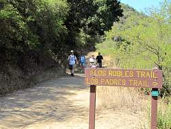
Los Padres Trail, AKA Sherwood Forest
|
|
 |
Los Padres Trail, AKA Sherwood Forest
|
|
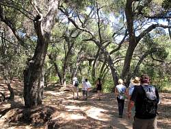 |
Los Padres Trail, AKA Sherwood Forest
|
|
 |
Los Padres Trail, AKA Sherwood Forest
|
|
 |
The short walk along the street back to the parking area
|
|
|
|