|
Google Earth view of our route, from the north.
|
|
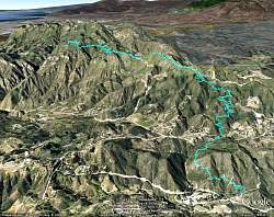 |
Google Earth view of our route, from the south-east. We started at the lower right.
|
|
 |
Google Earth view of our route, from the west. The turn-around point was at the left.
|
|
 |
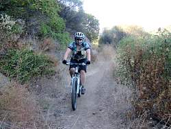
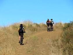
Climbing from Encinal to Mulholland
|
|
|
 |
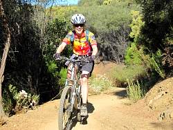
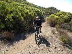
Climbing from Mulholland to Etz Meloy
|
|
|
|
|
|
 |
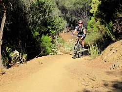
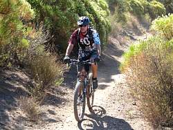
On Etz Maloy Motorway
|
|
|
|
|
|
|
|
|
|
|
 |
The turn around point, way down there at Yerba Buena Road and the Mishe Mokwa Trailhead
|
|
 |
Sandstone Peak and Boney Mountain are not too far from here
|
|
|
 |
This is where a few of us turned around, although most descended to Yerba Buena
|
|
|
|
|
|
|
|
|
|
|
|
|
|