|
Our route (pale blue), as seen through Google Earth, from the north-east. Other Wildwood area trails are purple. We started at the top, hiked to the west end of the lower trail (near the center of the image), then to the east end (bottom), then back to the top.
|
|
 |
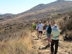
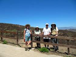
The spur from Wildwood Avenue meets the Santa Rosa Trail
|
|
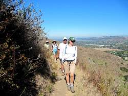 |
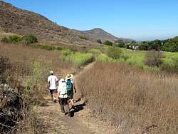
The Santa Rosa Trail, headed east towards the new Shooting Star Trail that will take us down to the Lower Santa Rosa Trail at the edge of the valley
|
|
|
|
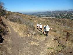 |
Turning down the Shooting Star Trail
|
|
|
 |
This trail isn't quite a year old and already it's broken in quite well
|
|
|
|
 |
An indignant indigenous lifeform at the edge of the trail
|
|
 |
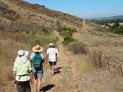
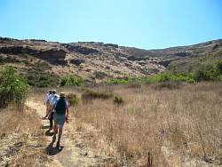
Approaching the Lower Santa Rosa Trail
|
|
 |
Turning west on the Lower Santa Rosa Trail (AKA the Baseline Trail)
|
|
|
|
|
 |
The fennel grows tall here! It smells nice, but it's invasive and pushes out the native plants.
|
|
|
|
 |
Almost to the west end of the trail where we'll turn around and head back
|
|
|
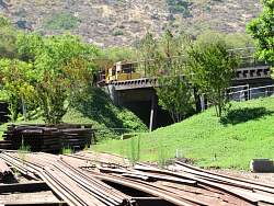 |
The property at the end of the trail has it's own railroad!
|
|
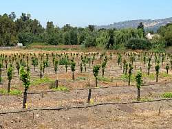 |
A new orchard across the street
|
|
 |
On the way back, the farm field forms an simple pattern
|
|
|
|
|
 |
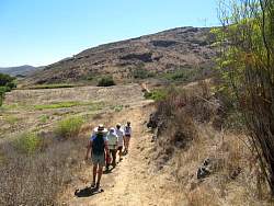
Heading back up the new Shooting Star Trail to get us to the (upper) Santa Rosa Trail
|
|
|
|
|
|
 |
The whole Wildwood area has a volcanic history, and there are lots of basalt rocks around to demonstrate that
|
|
 |
Back onto the spur to get us back to the cars on Wildwood Avenue
|
|
 |
More evidence of ancient vulcanism!
|
|
|
|
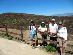 |
At the trailhead
|
|
|