|
Google Earth view of our route, looking from east-north-east. This view looks along Potrero Ridge towards Camarillo.our route is shown in light blue.
|
|
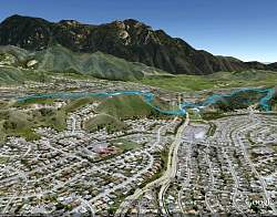 |
Google Earth view of our route (blue line), looking from the north. We can see Boney Mountain in the distance.
|
|
 |
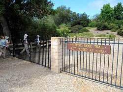
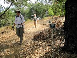
The sign says that this section of the trail has been adopted by the Sequoia Middle School Discovery Academy.
|
|
 |
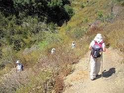
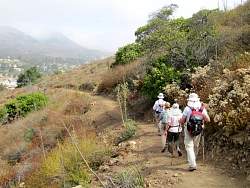
The western section of Potrero Ridge is lost in the fog
|
|
 |
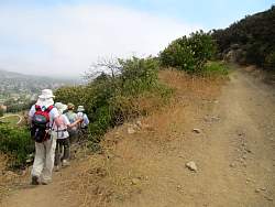
The fog has lifted enough that we can see the switchbacks on the west side of Reino Rd that we'll hike up, and the Oak Ridge Trail (previously known as the Mountain Creek Trail) we'll take back down to street level.
|
|
 |
Starting down the newest section of the Potrero Ridge Trail what we build in March 2011 at the COSCA Spring Trailwork Day.
|
|
 |
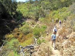
The newest section of the Potrero Ridge Trail
|
|
 |
Looking back up the newest section of the Potrero Ridge Trail
|
|
|
 |
Another sign at the bottom of this section of the trail
|
|
|
 |
A typical view of Boney Mountain from the Potrero Ridge Trail
|
|
|
|
 |
Starting down the Oak Ridge Trail (previously known as Mountain Creek Trail)
|
|
|
|
|
|
|
 |
Almost to the bottom of the Oak Ridge Trail
|
|
 |
Heading back up the Oak Ridge Trail
|
|
|
 |
Poison oak climbs like a vine up this oak tree
|
|
 |
Back on the Potrero Ridge Trail
|
|
|
|
|
|
|