|
Our route (light blue) from the Sandstone Peak trailhead (lower left) to Tripeaks as seen in Google Earth, looking south-west. Other Circle X trails are yellow, Boney Mtn Wilderness trails are red and Sycamore Canyon trails are orange.
|
|
|
 |
Making sure everyone is present
|
|
 |
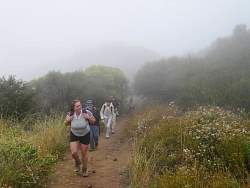
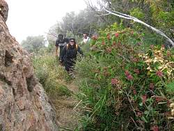
Starting up the Sandstone Peak Trail
|
|
|
|
|
|
 |
A little break along the way
|
|
|
 |
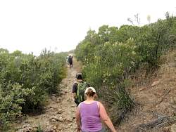
Splitting off to the Tripeaks Trail
|
|
 |
The Tripeaks Trail is rutted and rocky
|
|
|
|
|
 |
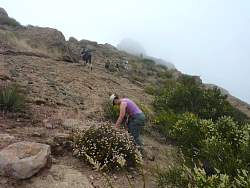
Photo op near the base of Tripeaks
|
|
 |
Tripeaks is up there in that fog somewhere!
|
|
|
|
 |
As far up on Tripeaks as the trail goes - now we follow it around to the other side
|
|
|
|
|
 |
Working our way around Tripeaks to Nice Room
|
|
|
|
|
 |
At the entrance to Nice Room, the gateway to the deep cave
|
|
 |
In the Narrows
|
|
|
|
 |
Checking out the entrance to the deep cave
|
|
 |
Preparing for the cave
|
|