 |
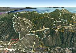
View of our route as seen by Google Earth, in light blue, from the north-north-west. Other colored lines show other trailsin the area. We hiked clockwise, up Topanga Ridge and down the Stunt High Trail.
|
|
 |
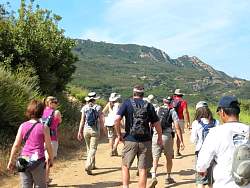
Starting up Calabasas Peak Motorway
|
|
 |
The rocks of Saddle Peak visible south of us on Calabasas Peak Mtwy.
|
|
 |
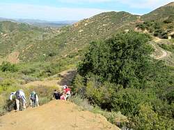
Starting up Topanga Ridge
|
|
 |
Calabasas Peak Mtwy is below us as we start up Topanga Ridge
|
|
|
 |
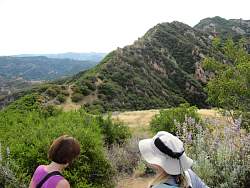
There are great views up here!
|
|
|
 |
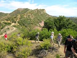
Calabasas Peak in the background to the north
|
|
 |
That's the rocky part of Topanga Ridge, across the meadow
|
|
|
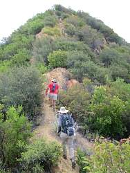 |
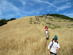
Climbing Topanga Ridge
|
|
|
|
 |
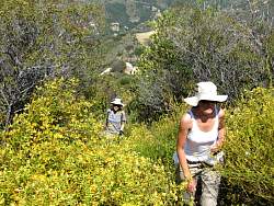
The trail is a little overgrown, but it's still easy to follow
|
|
 |
Stunt Road to the south-west
|
|
|
|
|
|
 |
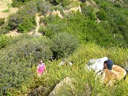
The Topanga Ridge Trail isn't all rocks
|
|
|
|
|
|
 |
Sticky monkey face flowers are in full bloom
|
|
|