|
The trails around Coyote Hills Park. Wood Ranch trails are at the bottom-left.
|
|
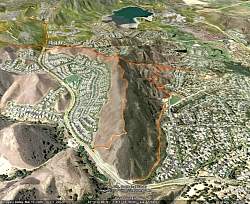 |
Coyote Hills Park trails as seen from Google Earth, looking due west. Wood Ranch trails are in brown at the top-left and Bard Reservoir is in the background.
|
|
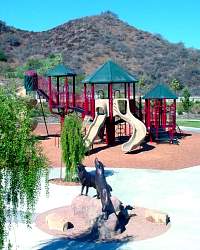 |
Coyote Hills Park
|
|
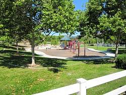 |
Coyote Hills Park
|
|
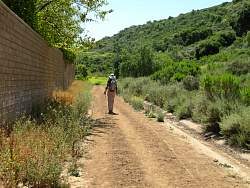 |
Coyote Hills Park Bridal Path
|
|
 |
Coyote Hills Park Bridal Path
|
|
 |
Starting up the hill to East Canyon View Trail
|
|
 |
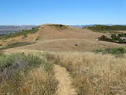
The climb up to the ridgeline is pretty steep.
|
|
|
 |
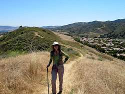
Looking back (east) on the East Canyon View Trail
|
|
 |
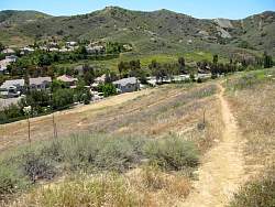
Looking ahead (west) on the East Canyon View Trail, with Bard Reservoir in the distance
|
|
|
 |
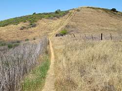
Looking north-east on the West Canyon View Trail. We can see the East Canyon View Trail following the ridgeline in the distance.
|
|
 |
The West Canyon View Trail, looking north and east
|
|
 |
The West Canyon View Trail, looking south
|
|
 |
Looking down to the south end of the West Canyon View Trail
|
|
 |
Interesting rocks on the way down to the bottom
|
|
|
 |
West Canyon View Trail trailhead
|
|
 |
Scrapes indicate horses have a hard time on the rocks?
|
|
 |
The West Canyon View Trail, approaching the Wood Ranch Trail near the top of the hill
|
|