|
Google Earth view of our route, looking west (light blue line). We went clockwise around the loop, covering 2.5 miles in 3 hours. It was steep!
|
|
 |
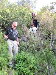
It's steep when we start up...
|
|
 |
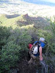
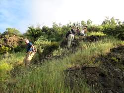
... get's steeper...
|
|
 |
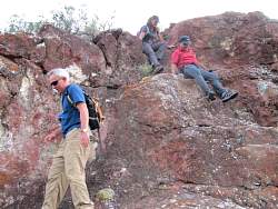
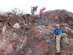
... and it's REALLY steep up there!
|
|
|
|
|
|
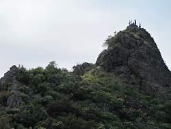 |
On top of Goat's Butte
|
|
|
 |
Two-tone blue dick. I wish my camera would focus on the flower and not the ground!
|
|
 |
Looking back from God's Eye View
|
|
|
 |
Starting down the north-east ridge. The top is pretty steep.
|
|
|
|
|
|
 |
From here on down, it's only moderately steep
|
|
 |
Except for this spot...
|
|
|
|
 |
The natural steps make it pretty easy to get down.
|
|
|
|
|
|
|
|
|
 |
There's a nice forest on the other side of Kanan
|
|
|