|
Our route, shown in pink, as seen in Google Earth. The view is looking due north. Other Dos Vientos trails are light blue.
|
|
 |
At the start, Conejo Mountain was in the clouds. Would it clear up, or would we go somewhere lower to stay out of the fog?
|
|
|
|
|
 |
Trying the "Pedestrian Warning Device" at a crosswalk. What a hoot!
|
|
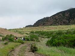 |
At the bottom of Conejo Mtn Rd. It looks like it's cleared enough that we won't be hiking in the fog.
|
|
 |
Some truck has left some big ruts here in the mud
|
|
|
|
 |
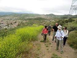
Overlooking Camarillo
|
|
|
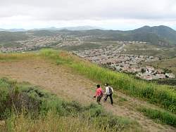 |
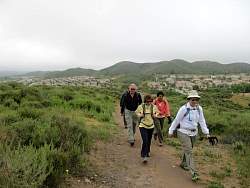
Overlooking Dos Vientos
|
|
 |
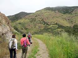
Starting down in the remote part of Conejo Mountain
|
|
|
 |
This sticky monkey face bush is brighter orange than usual
|
|
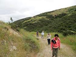 |
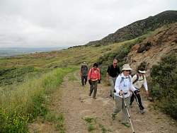
Heading back
|
|
 |
Overlooking Dos Vientos again
|
|
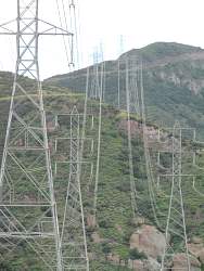 |
Without these, there would be no road up Conejo Mtn
|
|
|
|
|
 |
Now Conejo Mtn is completely clear of clouds
|
|
|
|
|
|