 |
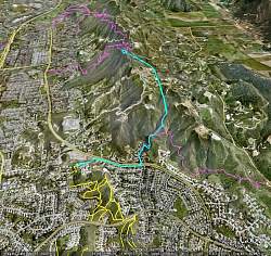
Our hike, in blue, as seen from Google Earth, looking east. We started at the lower-left. The other colored lines show other trails.
|
|
 |
The trailhead on Felton Street
|
|
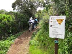 |
This is a COSCA trail
|
|
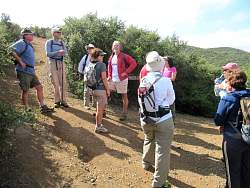 |
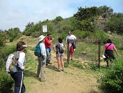
Pausing when we get to the Los Robles Trail proper from the Felton access trail
|
|
 |
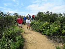
Heading east towards the picnic table
|
|
|
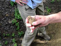 |
We found a horned toad beside the trail
|
|
 |
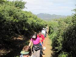
The trail goes along private property
|
|
 |
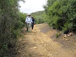
There are three steep and somewhat slippery hills, even when the ground is dry
|
|
|
|
|
 |
After the steep climbs, there's a descent with a big rut in the middle
|
|
 |
Almost to the picnic table
|
|
|
 |
At the picnic table, overlooking Newbury Park and Dos Vientos
|
|
 |
Starting back
|
|
 |
Not far from the picnic table is where the Rosewood Trail comes in
|
|
|
 |
This part, below the picnic table, is rutted and rocky but pretty firm
|
|
|
|
|
|
 |
Heading back down the steep hills we had to climb to get to the picnic table
|
|
|