|
Google Earth view of our route (light blue), from the north-west. We had planned to take the bright yellow loop to Boney Summit and Tripeaks, but it was wet and would have been too slippery. Other trails are shown in red and orange.
|
|
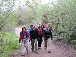 |
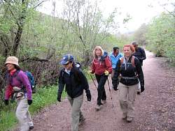
We start off, not far from the Rancho Sierra Vista / Satwiwa parking lot
|
|
|
 |
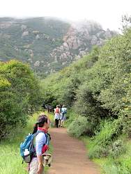
The Boney Summit is covered with clouds
|
|
 |
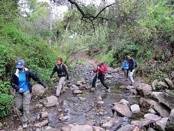
Crossing the Satwiwa area
|
|
|
 |
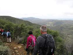
Looking down Sycamore Canyon
|
|
|
|
|
|
|
 |
This tree was covered with blooms that looked like apple blossoms
|
|
 |
We've been climbing for a few minutes so now it's time to shed some layers
|
|
|
|
 |
Danielson Road / Old Boney Trail has some nice overlooks into Sycamore Canyon
|
|
|
 |
Boney Summit is still covered with clouds
|
|
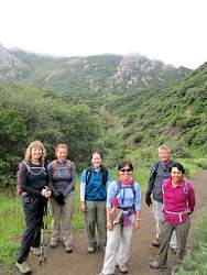 |
Group shot where we turn off Danielson Rd onto Old Boney Trail
|
|
 |
Old Boney Trail is nice and wide where the Santa Monica Mountains Trail Council trail crew volunteers have been maintaining the trail.
|
|
|
|
|
|
|
 |
The turn-off to the Western Ridge Trail to Boney Summit
|
|
 |
At the start of the Western Ridge Trail
|
|
|
 |
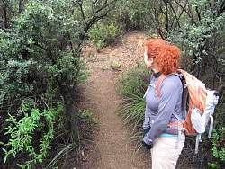
This is as far as we went on the Western Ridge Trail. With last night's rain, the brush was wet (and getting us wet) and the steep, rocky parts of the trail would be slippery.
|
|
 |
Back on the Old Boney Trail, heading south-west
|
|
 |
Ranch Center Road going through the meadow in Sycamore Canyon below us
|
|