|
Our route shown on a topo map. We started at the lower left and hiked clockwise around the loop. We found 27 geocaches along the way.
|
|
 |
Google Earth view of our hike, looking south-east. We started at the far right side.
|
|
 |
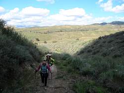
Climbing a steep trail out of the canyon to retrieve a geocache
|
|
 |
Headed back down to Happy Camp Canyon
|
|
 |
It's Miss Sparkly Hat!
|
|
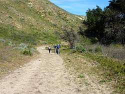 |
Happy Camp Canyon Fireroad
|
|
|
|
|
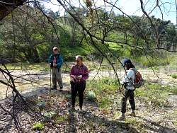 |
Searching for a geocache. The coordinates were a bit off so it took awhile.
|
|
 |
Happy Camp Canyon Fireroad
|
|
 |
This cache contains a small Canadian Flag!
|
|
 |
Someting suspicious here...
|
|
 |
... Signing the log sheet
|
|
 |
Happy Camp Canyon Fireroad
|
|
 |
This cache is surrounded by a little frog
|
|
 |
It must have rained recently
|
|
|
 |
Out in the middle of nowhere, and we get the feeling we're being watched...
|
|
 |
These guys carry their own TOTTs!
|
|
 |
Everybody is looking at us
|
|
 |
This one only has a pair of little devil-horns so far
|
|
 |
Happy Camp Canyon Fireroad
|
|
|
 |
Sign at the picnic area
|
|
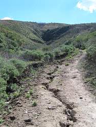 |
The trail from the canyon up to the ridge is a little rutted. And steep.
|
|
|
|