 |
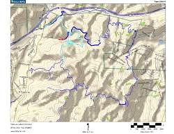
| Topo map of our route, shown in light blue. Other trails are dark blue. We started at the top-left and hiked to the top of the Bark Park Trail, 3 miles along. |
 |
| Google Earth view of our hike, shown in light blue, looking from the north-west. Other trails are shown in red. |
 |
 |
 |
 |
 |
 |
 |
 |
 |
 |
 |
 |
 |
 |
 |
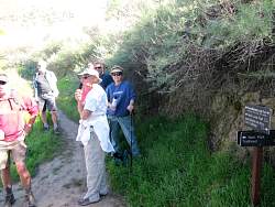 |
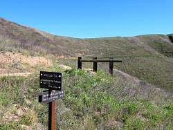
| The top of the Bark Park Trail, our turn-around point, 3 miles from the start. |
 |
 |
 |
| The view down below, with Ladyface Mtn in the distance (pointed ridge towards the right on the horizon). |