|
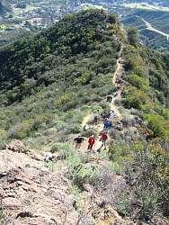
Google Earth view of our route, from the east-south-east. We went up on the left, continued to the far end, then returned down the north-east ridge to the right.
|
|
 |
Chatting about the hike a short way up the dirt road, away from the traffic noise of Kanan Rd.
|
|
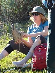 |
A good time to get rid of pebbles!
|
|
|
|
 |
The steepness of the dirt road at the start gave us a taste of things to come!
|
|
 |
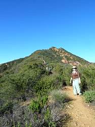
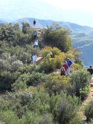
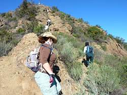
From the dirt road onto the singletrack trail
|
|
|
|
|
|
|
|
 |
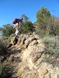
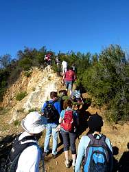
It's steep and rocky, and will become more of both before we're finished!
|
|
|
|
|
|
|
 |
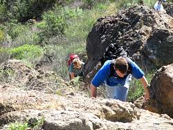
Looking down from the top of the steepest section.
|
|
 |
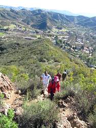
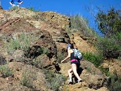
We make our way up this very steep part one at a time.
|
|
|
|
|
 |
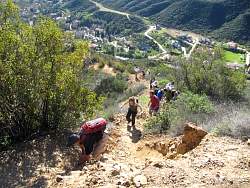
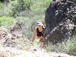
From the bottom of the steepest section
|
|
|
|
|
|
|
|
|
|
|
|
|
|
|