Topo map of our route, the blue loop in the center. We started at the bottom and hiked counterclockwise, with a little junket to the south-east down Marr Ranch Road. The blue line on the lower left is Las Llajas Canyon Road.
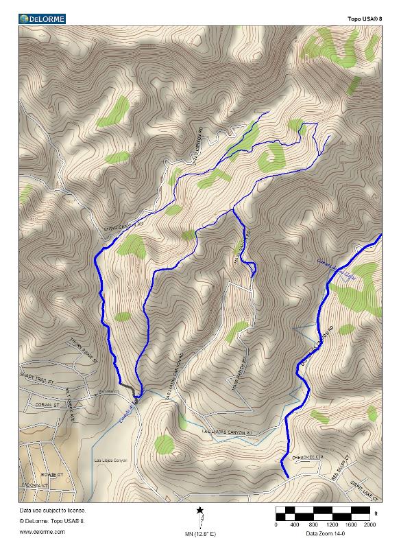
Image 1 of 56
