 |
| Topo map that shows our route (dotted light blue line), starting at the upper left. Trails are shown in red, blue and yellow |
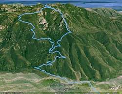 |
| Google Earth view of our route, from the north. The Western Ridge is on the right and the Upper Cabin (Gully) Trail is on the left |
 |
 |
 |
 |
 |
 |
 |
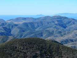
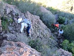
| We'll be hiking through those rocks on the horizon at the top left to get to Boney Summit |
 |
 |
 |
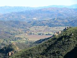
| The views of the Channel Islands will only get better as we get higher! |
 |
 |
 |
 |
 |
 |
 |
 |
 |
 |
 |
 |
 |
 |
 |