 |
| Our hiking route, seen on Google Earth, looking south-east. We started in the distance and hiked a counter-clockwise loop towards the lower right (Wills Canyon and Chaparral Crest), followed by a loop through the historic orange grove, across the river and back on the east side (far side in this view). |
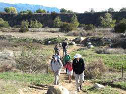 |
| Starting off across the flood plain on the east side of the river |
 |
| Crossing the dry Ventura River |
 |
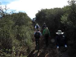
| Wills Canyon |
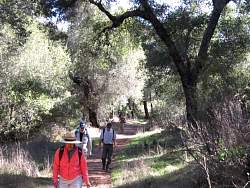 |
| Wills Canyon |
 |
| Wills Canyon |
 |
| Wills Canyon |
 |
| Wills Canyon |
 |
| El Nido meadow |
 |
| El Nido meadow |
 |
 |
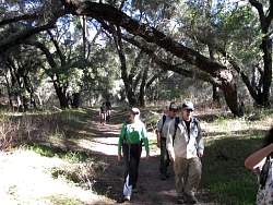
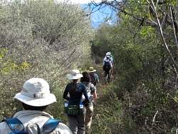
| Chaparral Crest Trail |
 |
| Chaparral Crest Trail |
 |
| Chaparral Crest Trail |
 |
| Turning up the Oso Ridge Trail to get to the Preserve High Point |
 |
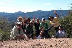 |
| The Preserve High Point |
 |
| The Preserve High Point |
 |
| The Preserve High Point |
 |
 |
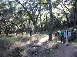
| Chaparral Crest Trail |
 |
| Chaparral Crest Trail |
 |
| Chaparral Crest Trail |
 |
| Chaparral Crest Trail |