 |
Google Earth view of our hike, looking east. Our route is shown in light blue. Other trails are purple.
|
|
 |
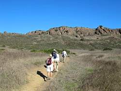
Mesa Trail in Wildwood Park
|
|
 |
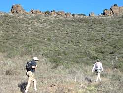
Mesa Trail in Wildwood Park
|
|
 |
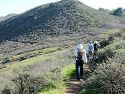
Santa Rosa Trail
|
|
 |
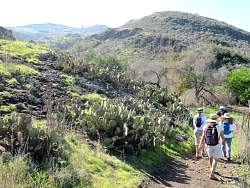
Santa Rosa Trail
|
|
 |
Santa Rosa Trail
|
|
 |
Santa Rosa Trail
|
|
 |
Santa Rosa Trail
|
|
 |
Santa Rosa Trail
|
|
 |
Santa Rosa Trail
|
|
 |
Some people are below us on the Lower Santa Rosa Trail
|
|
 |
Santa Rosa Trail
|
|
 |
Santa Rosa Trail
|
|
 |
Spur to Wildwood Avenue
|
|
 |
Spur to Wildwood Avenue
|
|
|
|
 |
Lower Butte Trail
|
|
 |
Lower Butte Trail
|
|
 |
Lower Butte Trail
|
|
 |
Lower Butte Trail
|
|
|
 |
Back to the Santa Rosa Trail, this time at the east end
|
|
 |
Turning off the Santa Rosa Trail to take the new connector to the Lower Santa Rosa Trail
|
|
 |
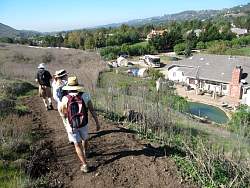
The Lower Santa Rosa Trail
|
|
 |
The Lower Santa Rosa Trail
|
|
 |
The Lower Santa Rosa Trail
|
|
 |
The Lower Santa Rosa Trail
|
|
 |
Farm workers in the Santa Rosa Valley
|
|
 |
The Lower Santa Rosa Trail
|
|
 |
The connector joins the Lower Santa Rosa Trail
|
|
 |
The Lower Santa Rosa Trail
|
|
 |
The Lower Santa Rosa Trail
|
|
 |
There are a couple of geese in this yard
|
|

