|
Topo map of our route, shown in cyan. The yellow trails on the left are Temescal Gateway Park and the blue trails on the right are Will Rogers State Historic Park.
|
|
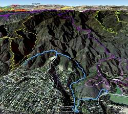 |
Google Earth view of our route, shown in light blue. Will Rogers trails and Rogers Road are in purple to the right and Temescal Gateway Park trails are yellow to the left. Upper-right trails, in bright green, are Sullivan and Westridge. You can see the polo field at Will Rogers at the lower-right.
|
|
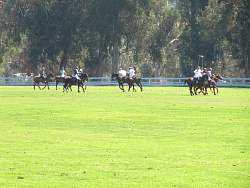 |
There was a polo game going on when we arrived
|
|
|
|
|
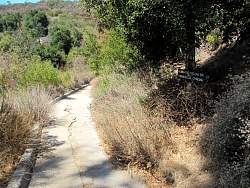 |
The start of the Temescal - Rivas Canyon Trail at Will Rogers State Historic Park
|
|
 |
We're about to drop into Rivas Canyon
|
|
 |
Dropping into the canyon
|
|
 |
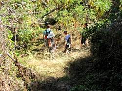
This section of the trail, between Rivas Canyon and Will Rogers, sees a lot of equestrian traffic
|
|
 |
The green vent pipe on the right is special...
|
|
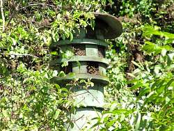 |
...it's home to a beehive
|
|
 |
The first part of the trail in Rivas Canyon goes by the back of some houses
|
|
 |
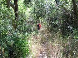
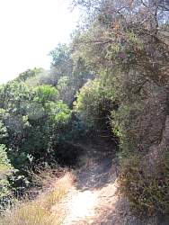
Its shady and very pretty in the canyon
|
|
|
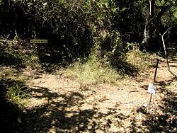 |
There are a couple of signs where the trail starts to climb out of the canyon
|
|
 |
The trail out of the canyon had tight switchbacks and was a little narrower than in the canyon, but easy for bipeds to handle.
|
|
 |
Rounding a switchback
|
|
 |
Can you see the spiderweb?
|
|
|
|
 |
One of the tight switchbacks
|
|
|