 |
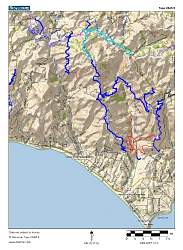
Topo map of our route, shown in cyan. Other trails in the area are blue or red. We started at Kanan Road and hiked to Buzzard's Roost Ranch at the top of Zuma Ridge Motorway, and then back.
|
|
 |
Google Earth view of our route, shown in pink. The view is looking due south, looking towards Point Dume. Other trails in the area are shown in blue.
|
|
 |
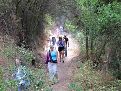
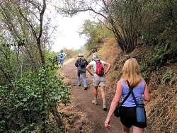
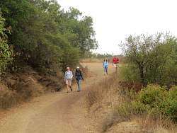
Heading west on the Backbone Trail from Kanan Rd, towards Zuma Ridge Motorway.
|
|
|
|
|
|
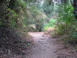 |
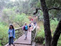
The trail is in really great shape today!
|
|
|
|
|
|
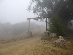 |
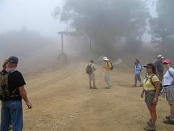
The entrance to Buzzard's Roost Ranch at the apex of Zuma Ridge Motorway. Normally you can see the coast from here, but not today.
|
|
|
 |
Heading back down Zuma Ridge Motorway towards the Backbone Trail
|
|
 |
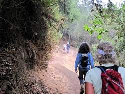
Back on the Backbone Trail, headed for Kanan Rd
|
|
|
|
|
|
|
|
|
|
|
|
|
 |
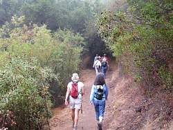
Hikers emerge from the mist
|
|
|
|
|
 |
Back to the trailhead and parking, on Kanan Rd, by Tunnel #1.
|
|
|