|
Topo map of our route, in pink. We started on the right side, along Kanan Road, walked south and then climbed the eastern ridge. We came back the northeastern ridge.
|
|
 |
Google Earth view of our hike, in pink. The view is from the north-east.
|
|
 |
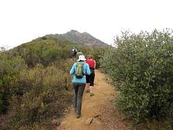
Starting up the road towards the eastern ridge
|
|
|
|
|
 |
The climbing is starting to get a little more serious
|
|
|
|
 |
Stinkbug hiding in the middle of the trail
|
|
|
|
|
 |
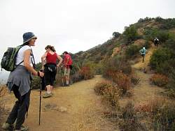
Taking a little break before tackling a short rocky stretch
|
|
|
|
|
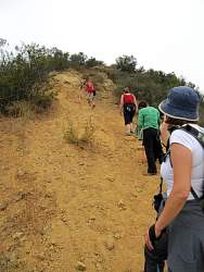 |
This part is loose as well as steep
|
|
 |
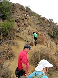
The steepest part is directly in front of us
|
|
|
|
|
|
|
|
|
|
|
|
|
 |
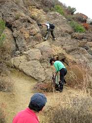
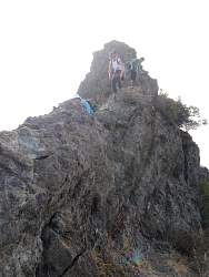
This climb is optional. Besides, there's an easier way to get to the top of this little peak
|
|
|
|
 |
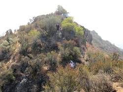
On top of the optional peak
|
|
 |
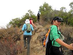
Getting back down from the little peak
|
|
|
|
 |
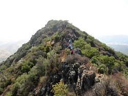
Continuing west along the ridgeline
|
|
 |
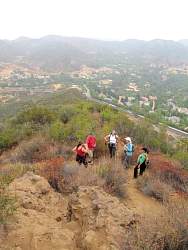
Looking down into the Conejo Valley
|
|
|
|
|
|