 |
| Route of our hike, in pink, starting at Potrero Road near Westlake Blvd. The large body of water is Lake Sherwood. |
 |
| Google Earth view of our route (pink), looking from the north. |
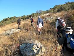 |
| Starting up the hill from Potrero Road |
 |
 |
 |
 |
 |
| The first plateau |
 |
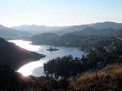
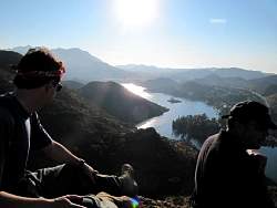
| There's a great view of Lake Sherwood from here, but it gets better! |
 |
| We're headed up there, and then some... |
 |
 |
 |
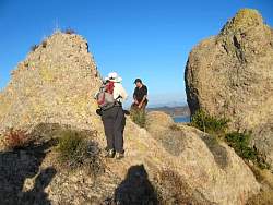
| That's our target in the background. It wasn't very difficult to get to. |
 |
 |
 |
| Another good viewing spot, but we're not at the top yet... |
 |
 |
 |
 |
 |