|
Topo map of our route, shown in light blue. Other trails are dark blue. We covered almost all the trails!
|
|
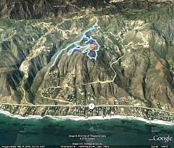 |
Google Earth view of the hike, looking north. You can see how high we were above the homes along the PCH.
|
|
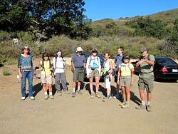 |
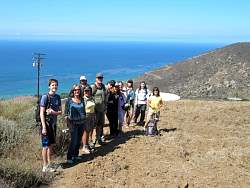
Group photo in the parking lot.
|
|
 |
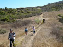
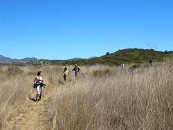
Heading for the old homestead location
|
|
 |
Stairs of some sort left over from the old home
|
|
 |
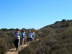
The old home was on a rocky hill that overlooks the meadow
|
|
|
|
 |
Heading north and up to the water tank
|
|
|
 |
These signs look like they're brand new! They're really a great addition.
|
|
|
 |
Sandstone Peak in the background
|
|
 |
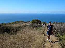
We turned around when we reached Encincal Rd and headed to the southernmost part and also the lowest
|
|
|
|
 |
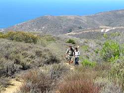
The lowest point, just above the houses
|
|
 |
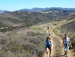
Heading back up to the main part of the park
|
|
|
|
|
|
|
|
|
|
|