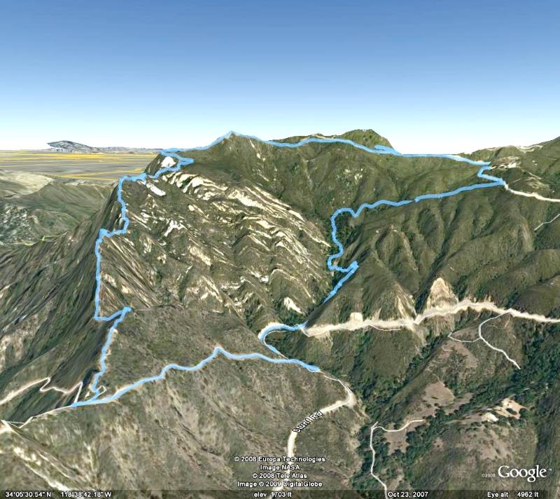
Google Earth view of the hike route (light blue), oriented so we're looking up Topanga Ridge (left side) with Calabasas Peak Motorway in the foreground. We started just below the center of this image and went clockwise around the loop.

Image 1 of 60
