Photos of hiking to the Bridge to Nowhere on the East Fork San Gabriel River, June 30, 2010

Hiking with the Weekday Trailblazers Meetup group. Photos of VenturaCountyTrails.Org. Click on an image to see it full size.

Photos Home   | Next Page

_Map2D_BridgeToNowhere.jpg
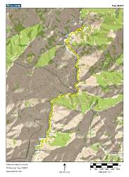
Topo map of our hike, in yellow. Total distance was 10.0 miles, out and back.
_Map3D_BridgeToNowhere_FromSouth.jpg
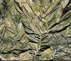
Google Earth view of our hike, shown in yellow, looking north.
IMG_9931.jpg

IMG_9932.jpg
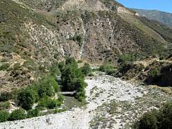
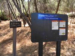
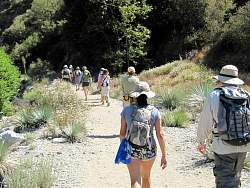
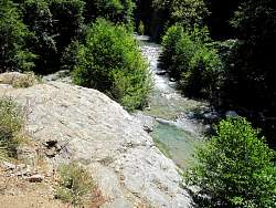
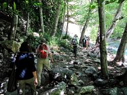
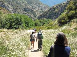
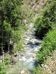
The East Fork San Gabriel River at the beginning of the hike
IMG_9933.jpg

IMG_9934.jpg

IMG_9935.jpg

IMG_9937.jpg

IMG_9938.jpg
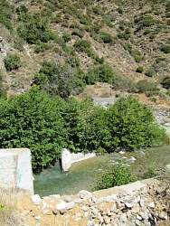
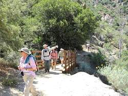
There used to be a bridge here
IMG_9939.jpg

IMG_9941.jpg

IMG_9945.jpg
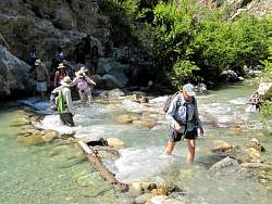
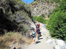
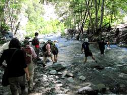
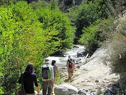
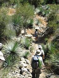
The first of many, many stream crossings
IMG_9953.jpg

IMG_9954.jpg

IMG_9955.jpg

IMG_9956.jpg

IMG_9957.jpg

IMG_9958.jpg

IMG_9959.jpg

IMG_9960.jpg

IMG_9961.jpg

IMG_9962.jpg

IMG_9963.jpg

IMG_9964.jpg

IMG_9968.jpg

IMG_9970.jpg

IMG_9971.jpg

1 2 3