 |
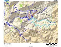
| Topo map of the route, shown in light blue. We started at the right side. Other trails are shown in red, yellow and darker blue. |
 |
| Google Earth view (looking west) of the hike, shown in light blue. Other trails are shown in purple. |
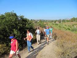 |
| Starting off on Lynnmere Trail |
 |
 |
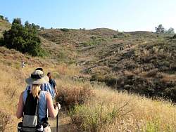 |
| Still on Lynnmere Trail |
 |
 |
 |
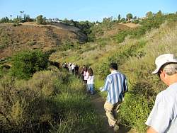
| Wildwood Canyon Trail |
 |
 |
| Las Flores Trail |
 |
| Avenida de las Flores |