|
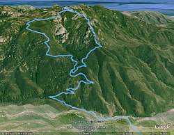
Topo map that shows our route (dotted light blue line), starting at the upper left. Trails are shown in red, blue and yellow
|
|
 |
Google Earth view of our route, from the north. The Western Ridge is on the right and the Upper Cabin (Gully) Trail is on the left
|
|
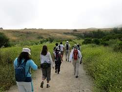 |
It was overcast with marine layer as we started out
|
|
 |
Boney Mountain is covered with clouds
|
|
 |
The marine layer is disappearing as we get closer
|
|
 |
Overlooking Sycamore Canyon at a switchback on Danielson Road
|
|
 |
At the turnoff to the Old Boney Trail, the summit is now completely clear of clouds behind us
|
|
 |
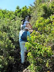
Old Boney Trail
|
|
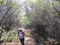 |
Old Boney Trail
|
|
 |
Old Boney Trail
|
|
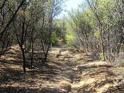 |
Old Boney Trail
|
|
 |
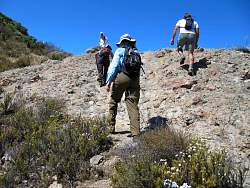
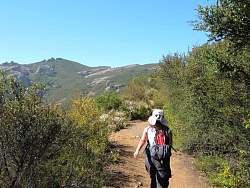
Starting on the Western Ridge Trail
|
|
|
|
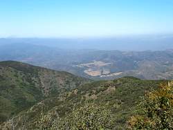 |
View of Ranch Center in Sycamore Canyon
|
|
 |
This is one of the steep sections, but the rock is easy to climb up
|
|
|
|
 |
Looking south-west
|
|
|
|
|
|
|
|
|
|
|
|
|
|
 |
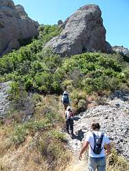
In some places, the trail is pretty narrow
|
|