 |
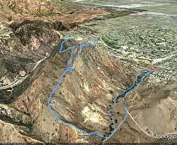
| Google Earth view of our hike, shown in light blue. Our route started at the west end of Vanowen Blvd, near the center-right. |
 |
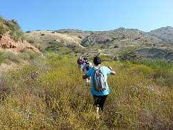
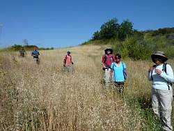
| The happy hiking group |
 |
 |
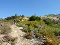
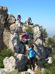
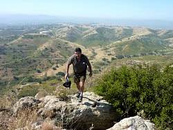
| Part way up the quite steep climb |
 |
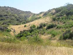
| It's a bit overgrown after the rain we had this winter |
 |
 |
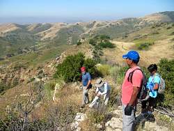
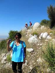
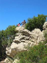
| Checking out the view while waiting for everyone to catch up |
 |
 |
 |
| Once we get to the plateau, we see there's another group a fwe minutes ahead of us. |
 |
 |
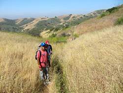
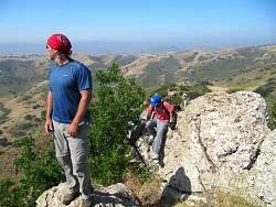
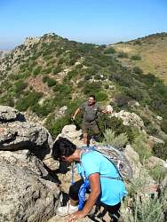
| A view of the ridgeline we'll be following |
 |
 |
 |
 |
| Everyone else took the easy way around |
 |
 |
 |
 |
 |
 |
 |
 |