 |
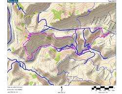
Route of the hike shown in pink. Blue, red and yellow lines show the trails.
|
|
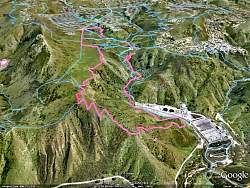 |
Google Earth view of the hike in pink, looking from the west. We started at the far top. Lizard Rock is at the top of the switchbacks on the lower left.
|
|
 |
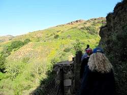
Heading east on Moonridge Trail
|
|
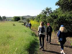 |
Heading east on Moonridge Trail
|
|
 |
Heading east on Moonridge Trail
|
|
 |
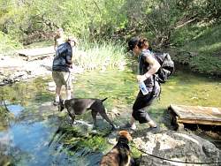
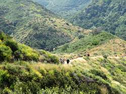
Indian Creek Trail
|
|
 |
Indian Creek Trail
|
|
 |
Indian Creek Trail
|
|
 |
Indian Creek Trail
|
|
 |
Indian Creek Trail
|
|
 |
Indian Creek Trail
|
|
 |
Indian Creek Trail
|
|
 |
Indian Creek Trail
|
|
|
 |
Wildwood Trail, approaching Paradise Falls
|
|
 |
Wildwood Trail, approaching Paradise Falls
|
|
 |
Paradise Falls
|
|
 |
This bridge was unstable...
|
|
 |
...but the rocks were solid!
|
|
|
|
 |
Starting up Lizard Rock Trail
|
|
 |
Lizard Rock Trail
|
|
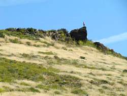 |
Someone standing on Lizard Rock above us
|
|