 |
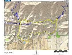
Our route, shown in yellow. We started at the lower left and went clockwise
|
|
 |
There are lots and lots of geocaches in the area!
|
|
 |
Google Earth view of our hike, looking from the south-west
|
|
 |
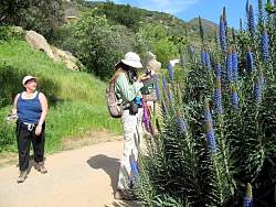
Discussing what we'll be doing during the hike.
|
|
 |
Lower Pratt Trail
|
|
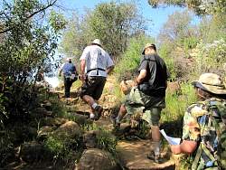 |
Lower Pratt Trail
|
|
 |
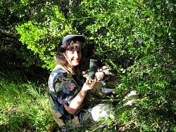
Searching for the first geocache along the route
|
|
 |
Found it!
|
|
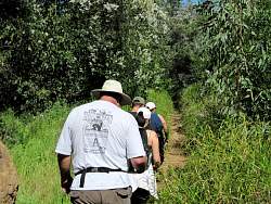 |
Lower Pratt Trail
|
|
 |
Lower Pratt Trail
|
|
 |
Lower Pratt Trail
|
|
 |
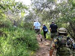
Looking for another geocache
|
|
|
|
|
|
|
|
 |
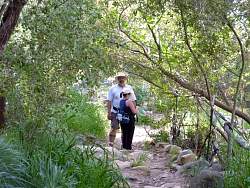
Lower Pratt Trail
|
|
 |
Found one just sitting here in the rocks!
|
|
 |
"Look at all the neat stuff!"
|
|
 |
Lower Pratt Trail
|
|
 |
Lower Pratt Trail
|
|
|
|
|
|
|
|
|
 |
We pass by a rock climber
|
|
 |
Mystery flowers above us on Fuel Break Road
|
|
 |
Fuel Break Road
|
|
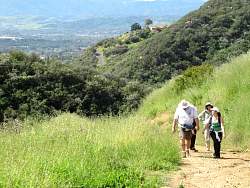 |
Fuel Break Road
|
|