|
Google Earth view of the hike, from the south. We started in the lower left corner next to the PCH then headed up and right on Winding Way. At the trailhead, we headed towards the left to the falls (upper left). On the way back, we headed right on the Coastal Slope Trail, then turned back to the start.
|
|
 |
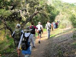
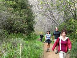
The first 3/5 mile is on Winding Way.
|
|
 |
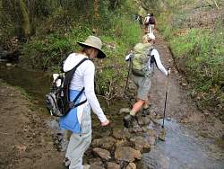
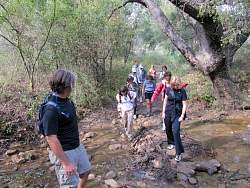
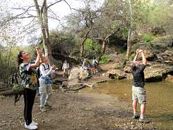
There were several stream crossings
|
|
|
|
|
|
|
|
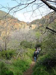 |
Our frst view of the falls, above the hikers and a bit to the left
|
|
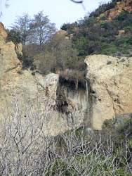 |
A zoomed-in view of the falls from the trail
|
|
 |
Arriving at the lower falls
|
|
|
|
 |
Heading for the upper falls
|
|
 |
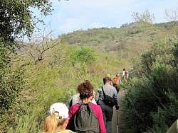
Much of the trail was very steep
|
|
 |
Half-way to the upper falls
|
|
 |
More steep!
|
|
 |
At the upper falls
|
|
 |
The upper falls
|
|
|
|
|
 |
Coming back down from the upper falls was pretty steep, too
|
|
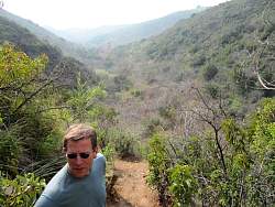 |
Looking out over the canyon
|
|
 |
The trail below the falls is very gentle
|
|
|
|
|
|
|